

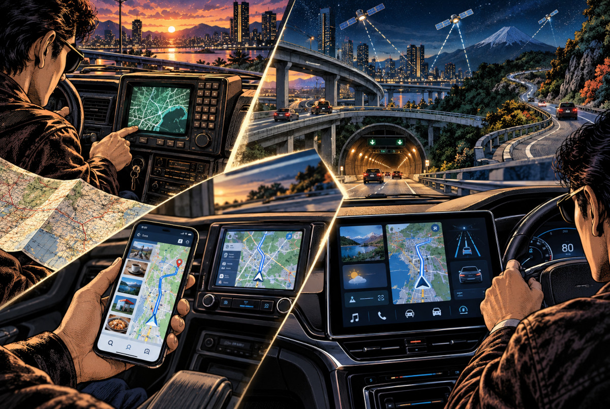
Get into a car with a smartphone, open Google Maps or Apple Maps, and you already have navigation, live traffic, arrival estimates and a way to find restaurants, fuel stations and shops along the route. If a phone can do all of that, is there still a reason to buy a separate car navigation system?
Dedicated navigation was once one of the most futuristic pieces of technology in a car. By 2026, however, its position has changed dramatically. The old assumption that drivers need to buy an expensive standalone device simply to navigate is steadily being dismantled by the smartphone. Yet something strange has happened at the same time: dashboard screens have not disappeared. In many new cars, they have become larger than ever.
That apparent contradiction tells us something important. Dedicated navigation is not simply “dying.” Its functions are being redistributed between the smartphone, the cloud and the vehicle itself.
When Knowing Your Position Cost ¥299,000
The history of in-car navigation makes the current situation look almost absurd. In 1981, Honda introduced the Electro Gyrocator in Japan, an early automotive navigation system that estimated vehicle movement using a gas-rate gyroscope and other sensors. This was before GPS navigation became a normal consumer technology.
The system cost ¥299,000 including installation, while the dedicated map sheets were sold separately. In other words, drivers were paying a substantial amount of money for something we now take completely for granted: a machine that could help indicate where the car was.
Then, in 1990, Pioneer introduced what the company describes as the world’s first commercially available GPS car navigation system. From there, the technology advanced rapidly: CD-ROM maps became DVD maps, then hard-drive systems, then flash-memory navigation. Voice guidance, traffic information and increasingly sophisticated position correction were added along the way.
For years, the ability to drive through an unfamiliar area without unfolding a paper road map was itself worth paying serious money for.
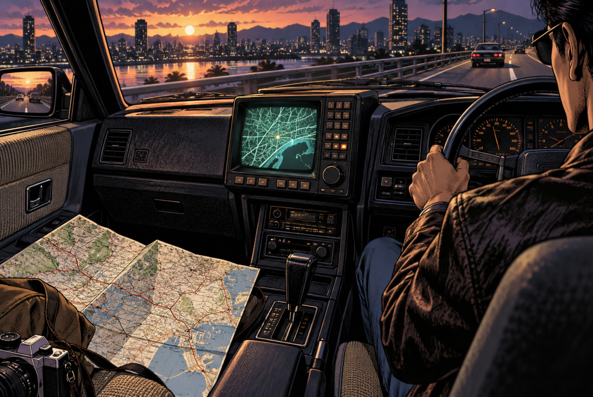 AI-generated illustration. This is a conceptual image and does not reproduce the actual Honda Electro Gyrocator hardware.
The Most Dangerous Rival Was a Free Map App
The smartphone changed the balance. Modern map apps do much more than display the driver’s position. They calculate routes, estimate arrival times, react to traffic conditions, reroute when necessary and provide lane guidance. Android Auto can bring services such as Google Maps directly onto the car’s display while providing turn-by-turn navigation and traffic information.
But the bigger problem for dedicated navigation manufacturers is that a smartphone is not merely a digital map. Search for “supermarket near me,” “restaurants open now” or “gas station,” and the phone can combine maps with business listings, opening hours, photos, ratings and other online information.
Traditional navigation systems built enormous databases of roads and points of interest into the car. Smartphones, by contrast, can draw on a constantly connected information ecosystem.
After decades of development, one of the core promises of the dedicated car navigator—find a destination and guide the driver there—can now be handled by a device the driver already owns. And with online map services, most users no longer have to think about buying “this year’s map update.”
That does not mean modern dedicated systems are frozen in time. Some current navigation products offer several years of free map updates, including periodic road-data updates. The old criticism that a built-in navigator becomes obsolete the moment it is installed is therefore no longer entirely fair.
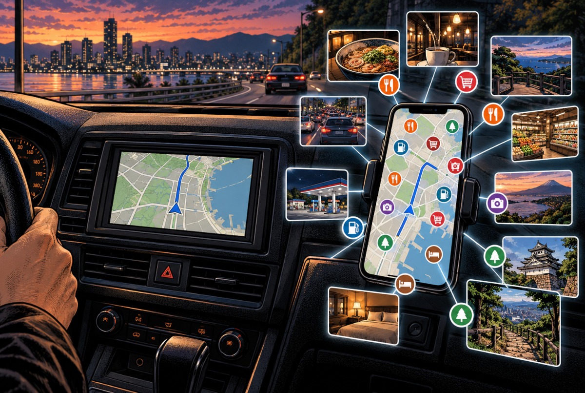 AI-generated conceptual illustration. The interfaces do not reproduce Google Maps, Apple Maps or any specific commercial navigation product.
Why Dedicated Navigation Has Not Disappeared
Declaring a complete smartphone victory would still be too simplistic. Dedicated navigation retains several technical advantages. Systems that combine vehicle-speed information with gyroscopes, acceleration sensors and satellite positioning can continue estimating the car’s movement when satellite reception becomes weak or temporarily unavailable.
That matters in places such as tunnels, beneath elevated expressways and around complicated multi-level roads. Drivers who cover long distances every day, regularly travel through mountainous areas or depend on navigation professionally may still value a system that does not rely entirely on a phone or mobile data connection.
Smartphones also have weaknesses that are easy to forget until they become inconvenient. Navigation can require continuous GPS use, mobile data, a bright display and charging at the same time. Inside a hot car in summer, that can contribute to thermal management issues. A phone can also be forgotten, run low on battery or lose connectivity.
A built-in navigation system has one extremely unglamorous advantage: start the car, and it is always there in exactly the same place. Reliability and consistency still matter.
There is also a safety issue. It is misleading to assume that a dedicated navigation screen is automatically safer than a smartphone. Japan’s National Police Agency warns against visually focusing on both mobile devices and in-car navigation displays while driving. The real issue is not whether the screen belongs to a phone or a dashboard—it is how much attention the driver gives it while the vehicle is moving.
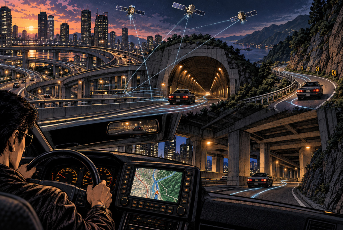 AI-generated conceptual illustration. Positioning methods, sensors and correction performance vary depending on the navigation system and vehicle.
Then the “Navigation” Started Disappearing from the Navigator
The clearest sign of change is the rise of the display audio system—a term commonly used in Japan for an in-car touchscreen that focuses on media, smartphone connectivity and vehicle functions rather than relying entirely on a traditional standalone navigation computer.
With Apple CarPlay and Android Auto, the phone can provide maps, music, calls and other services while the car provides the larger display, speakers, controls and integration with the vehicle.
In other words, the car no longer has to contain the entire navigation ecosystem by itself.
Toyota’s current approach in Japan is a useful example. Its connected navigation system can obtain map and destination information through Toyota’s online services. On some standard display-audio configurations, map navigation depends on a connected-navigation subscription, while Toyota itself explains that drivers can alternatively use compatible map apps through Apple CarPlay or Android Auto.
That is a remarkably symbolic change: the automaker itself accepts that the map does not always need to live permanently inside the car.
At the same time, Toyota also offers systems with onboard map data, allowing navigation to remain available even without relying entirely on the connected service. That tells us where the industry is really heading. This is no longer a simple contest between “smartphone” and “dedicated navigator.” The emerging model combines the cloud, the phone and the vehicle.
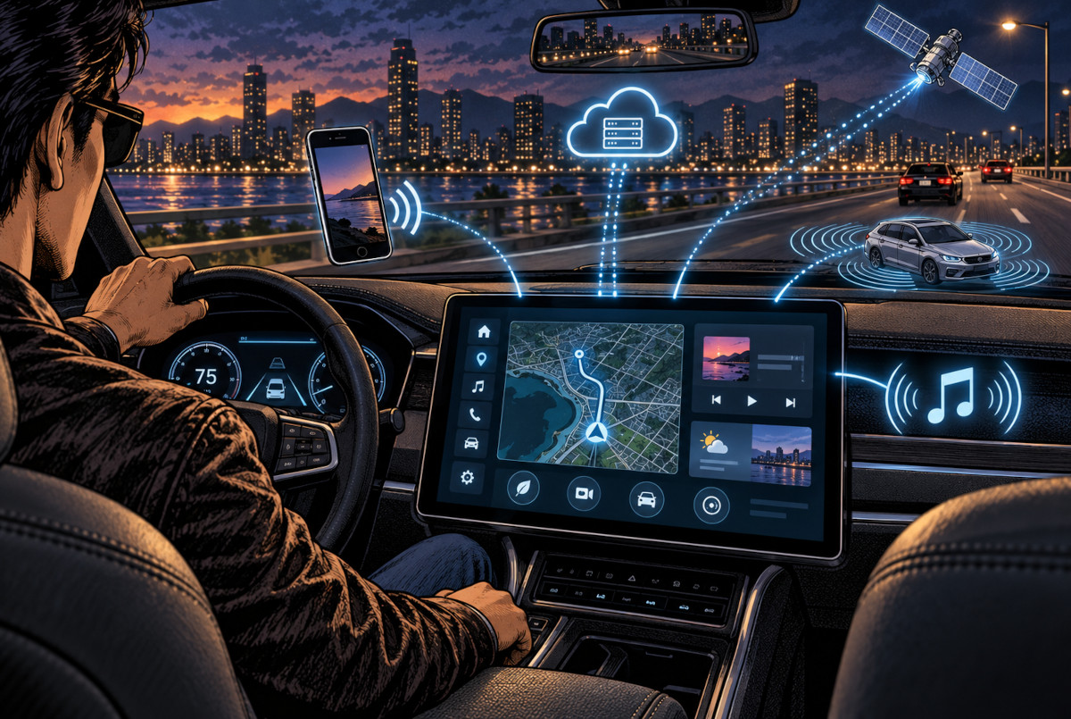 AI-generated conceptual illustration. The interface does not reproduce Apple CarPlay, Android Auto, Toyota or any other real production system.
Maybe We Are No Longer Buying a Map—We Are Buying the Screen
For drivers whose main use consists of commuting, shopping and weekend trips, smartphone navigation is probably sufficient in many situations. If the car supports Apple CarPlay or Android Auto, the driver may not even need to look at a small phone mounted on the dashboard.
Dedicated navigation still makes sense for some users: those who regularly drive through poor-coverage areas, spend hours on complicated road networks, use navigation professionally or simply do not want the car to depend on a phone.
But the direction of travel is difficult to miss. In the past, consumers bought a navigation system and received a screen with it. Today, increasingly, they buy a large in-car display and then bring navigation into that display from a smartphone, cloud service or onboard system.
Dedicated car navigation has not simply been defeated by the smartphone. Navigation technology became so normal, so widely available and so deeply integrated that it no longer always needs to exist as a separate box.
That also explains why the large screen remains in the middle of the dashboard. The navigator is not exactly disappearing. It is being absorbed into a broader in-car information terminal that handles maps, communications, media and vehicle functions together.
【What the Editor Thinks】
There was a time when simply seeing a navigation screen in a car made you think, “Now that is futuristic.” Knowing your position without unfolding a paper map felt like something from the next century. Today, the phone in your pocket can often find a restaurant better than the expensive navigator built into the dashboard.
For navigation manufacturers, it must feel as if decades of engineering were suddenly challenged by an app that costs the driver almost nothing. But perhaps that is not really a defeat. Maybe navigation technology became so successful that it stopped needing its own dedicated machine. Personally, if I were buying a car today, I would rather spend money on a good, well-integrated display than pay a large premium simply for another box whose main job is storing maps.
References
- Honda — “Honda Electro Gyrocator” launch announcement — December 17, 1981. Honda’s Japanese press release describing the early inertial automotive navigation system and its ¥299,000 installed price.
- Pioneer — Carrozzeria 40th Anniversary — Includes the company’s history of the 1990 commercially available GPS car navigation system.
- Pioneer — Rakunavi Vehicle Positioning Technology — Explanation of GPS, gyroscope, acceleration sensing and position correction used in current navigation systems.
- Google — Android Auto Help: Get Turn-by-Turn Navigation
- Google Maps Help — Search for Places in Google Maps — Information on finding businesses, opening hours, ratings and other location data.
- Apple — CarPlay
- Apple Support — Keeping iPhone and iPad Within Acceptable Operating Temperatures — Includes guidance regarding prolonged GPS navigation and use inside hot vehicles.
- Toyota — What Is T-Connect Connected Navigation? — Toyota Japan FAQ explaining its connected navigation service.
- Toyota — Can Navigation Still Be Used Without a Connected Navigation Subscription? — Toyota Japan FAQ covering Display Audio Plus and the use of Apple CarPlay / Android Auto as alternatives.
- Panasonic Strada — Free Map Update Program — Information on multi-year map-update support for compatible Japanese-market navigation systems.
- National Police Agency of Japan — Avoid Smartphone and Mobile-Phone Use While Driving — Includes warnings about looking continuously at both mobile devices and in-car navigation displays while driving.