

From September 24 to 27, 2026, Bangkok was hammered by days of intense rain. Some parts of the Thai capital received more than 300 mm in roughly 48 hours, and all 50 districts were eventually declared disaster-affected areas.
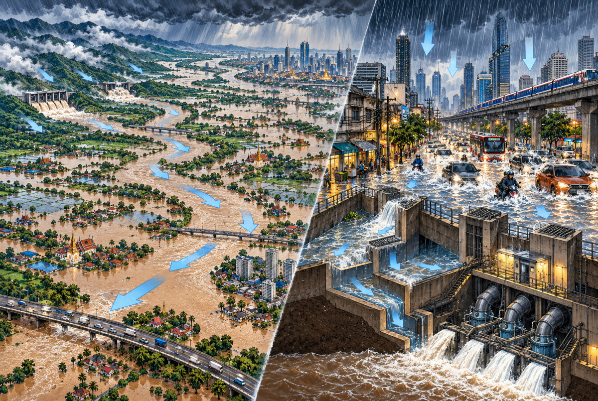
For anyone who remembers Thailand’s catastrophic floods of 2011, the obvious mental picture is water moving south from upstream through the Chao Phraya basin and eventually threatening Bangkok. But this time, the main problem looked rather different. Bangkok was struggling to get rid of the rain that had fallen on and around the city itself.
This Time, More of the Problem Fell From the Sky
According to the Thai Meteorological Department, an active low-pressure system moved from Vietnam’s central coast across Cambodia toward central Thailand, while the southwest monsoon also strengthened. The result was persistent, repeated rainfall over Bangkok for two to three days.
And Bangkok was already unusually wet before the worst of the storm arrived. From September 1 through 25, the capital recorded about 487 mm of rain. The 1991–2020 average for the same period is about 269 mm. In other words, Bangkok had already received roughly 1.8 times the normal amount.
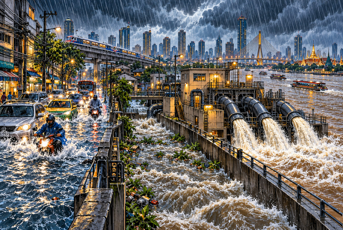
Then came another 300 mm or more in the hardest-hit areas. Street drains can move water into smaller waterways, which feed larger canals such as Saen Saep, Lat Phrao and Prawet Burirom. But once those main canals are at or near capacity, there is nowhere convenient for the next batch of street water to go.
So the problem was not simply “blocked drains.” The city’s drainage destinations themselves were filling up.
 AI-generated conceptual illustration of the drainage system. It does not accurately reproduce Bangkok’s geography or any specific pumping facility.
Full-Power Pumps: Divide the Numbers and You Get About 52 Hours
So was this simply a case of Bangkok having inadequate pumps? The numbers suggest the answer is more complicated.
Bangkok authorities said that about 223 million cubic meters of rainwater had accumulated on the Phra Nakhon side of the city, east of the Chao Phraya River. At the same time, pumps and drainage tunnels were operating at a combined capacity of roughly 1,200 cubic meters per second.
Those are two unusually large numbers, so I tried something deliberately crude: divide one by the other.
223,000,000 ÷ 1,200 gives about 185,800 seconds, or roughly 52 hours.
That does not mean every drop of rainwater in Bangkok must pass through one giant pump for 52 hours. Some water drains naturally, some is temporarily stored in canals and other areas, and the city has multiple drainage routes. The calculation is useful for something else: it gives a sense of the sheer difference in scale between the amount of water involved and even a very large pumping capacity.
Reality makes the job harder still. More rain can fall while pumping continues, and water from surrounding areas can keep entering the canal system. Bangkok officials at the time estimated that major drainage work could take two to three rain-free days. Put the numbers side by side, and that estimate suddenly looks much less surprising.
 AI-generated conceptual image showing the scale of the rainwater and pumping capacity. Bangkok does not have the giant reservoir depicted here.
“700,000 People Affected” Does Not Mean 700,000 Homes Were Flooded
By September 28, Bangkok authorities reported that about 329,000 households, representing roughly 700,000 people, had been affected.
That figure needs some care. It does not mean that the homes of all 700,000 people filled with floodwater. The Bangkok figure covered a spectrum of impacts, from relatively minor disruption to serious inundation.
Meanwhile, Thailand’s Department of Disaster Prevention and Mitigation, or DDPM, reported about 52,000 affected households in Bangkok in a separate tally. That figure was published for a different reporting time and under a different administrative dataset.
So this is not a case where one number must be “wrong.” Comparing 329,000 households directly with 52,000 households without checking the definition and reporting time would be misleading.
Flood statistics often look wonderfully precise. The awkward part is that two precise numbers may be measuring two different things.
Even 7 Billion Baht Was Only Part of the Bill
The University of the Thai Chamber of Commerce estimated that flooding from September 25–29 could cause about 7.014 billion baht in economic losses in Bangkok, or roughly US$209 million. Its nationwide base-case estimate was 12.283 billion baht, or about US$365 million. The dollar figures are approximate conversions using the September 29, 2026 exchange rate.
But even those numbers were not a final damage bill.
The UTCC estimate focused largely on interrupted economic activity: reduced consumer spending, tourism, trade, services, commuting and logistics. It did not yet include direct damage to homes, vehicles and inventories, or agricultural losses.
So “7 billion baht in damage” should not be read as the final cost of Bangkok’s flood. Once the water goes down and people begin inspecting cars, houses and stockrooms, a different bill starts appearing.
The Water Was Receding, but Eastern Bangkok Was a Different Story
By September 28, the low-pressure system had moved away from Bangkok and rainfall had eased from its peak. Flooding had been reported cumulatively in 42 districts, while eight districts were still dealing with significant inundation. They included Lat Krabang, Bang Kapi and Min Buri.
Some major roads were becoming usable again, but low-lying residential areas were another matter. Bangkok Governor Chadchart Sittipunt said major roads could improve within two or three days, while some flooded residential communities might need around two weeks to dry out completely.
The reason returns us to the same bottleneck: water in streets and housing estates cannot be efficiently drained until levels in the major canals come down first.
The government also designated September 28 and 29 as special public holidays for government agencies in Bangkok, Nonthaburi, Pathum Thani and Samut Prakan to reduce travel pressure. State enterprises, financial institutions and private-sector employers were asked to decide what arrangements were appropriate for their own operations.
That does not mean the whole of Bangkok had disappeared beneath water or that the capital had completely stopped functioning. Conditions were improving in some central areas while low-lying eastern districts and canal-side communities were still badly affected. The same city was experiencing very different versions of the same flood.
 AI-generated conceptual comparison of the 2011 and 2026 flood mechanisms. It is not a map of actual flooded locations or a reconstruction of specific drainage facilities.
Editor’s Note
Bangkok has a long-standing reputation for being vulnerable to flooding. But after digging into this event, I think saying “Bangkok is low, so of course it floods” is a little too easy.
Take 223 million cubic meters of rainwater and divide it by 1,200 cubic meters per second, and the rough number is 52 hours. Again, that is not an engineering model. But it is a useful reminder of the scale involved. And while the city is trying to move water out, more rain and more water from surrounding areas can still be coming in.
There is also something almost perversely appropriate about Bangkok’s history. The city was once nicknamed the “Venice of the East” because of its canals. In this flood, those same canals became so full that the city began running out of somewhere to send the next load of water.
In the end, Bangkok’s flood problem is not simply about how many pumps it owns. The more interesting question is where the water is supposed to go after the pumps move it. Apparently, even water needs traffic management in a megacity.
References
- Thai Meteorological Department — Heavy to Very Heavy Rain in Thailand No. 5 (221/2026)
- Thai Meteorological Department — Weekly Weather Summary, September 21–27, 2026
- Government Public Relations Department — Bangkok disaster-area declaration covering all 50 districts (Thai)
- Thai PBS The Active — Bangkok’s 48-hour rainfall, critical canal levels and drainage capacity (Thai)
- AFP — Bangkok rainfall totals for September 1–25 compared with the 1991–2020 average
- Thailand.go.th — Bangkok Flood Update, September 28: Rain Easing, 700K Affected
- Thailand.go.th — DDPM Flood Report for Bangkok and 27 Provinces
- The Nation — UTCC Forecasts 12.3 Billion Baht in Flood Losses for September 25–29
- The Nation — Bangkok Governor Reports Flood Conditions Beginning to Improve
- Government Public Relations Department — Special Public Holidays on September 28–29 in Four Flood-Affected Provinces
- World Bank — Thailand Flood Management and the 2011 Flood Context